


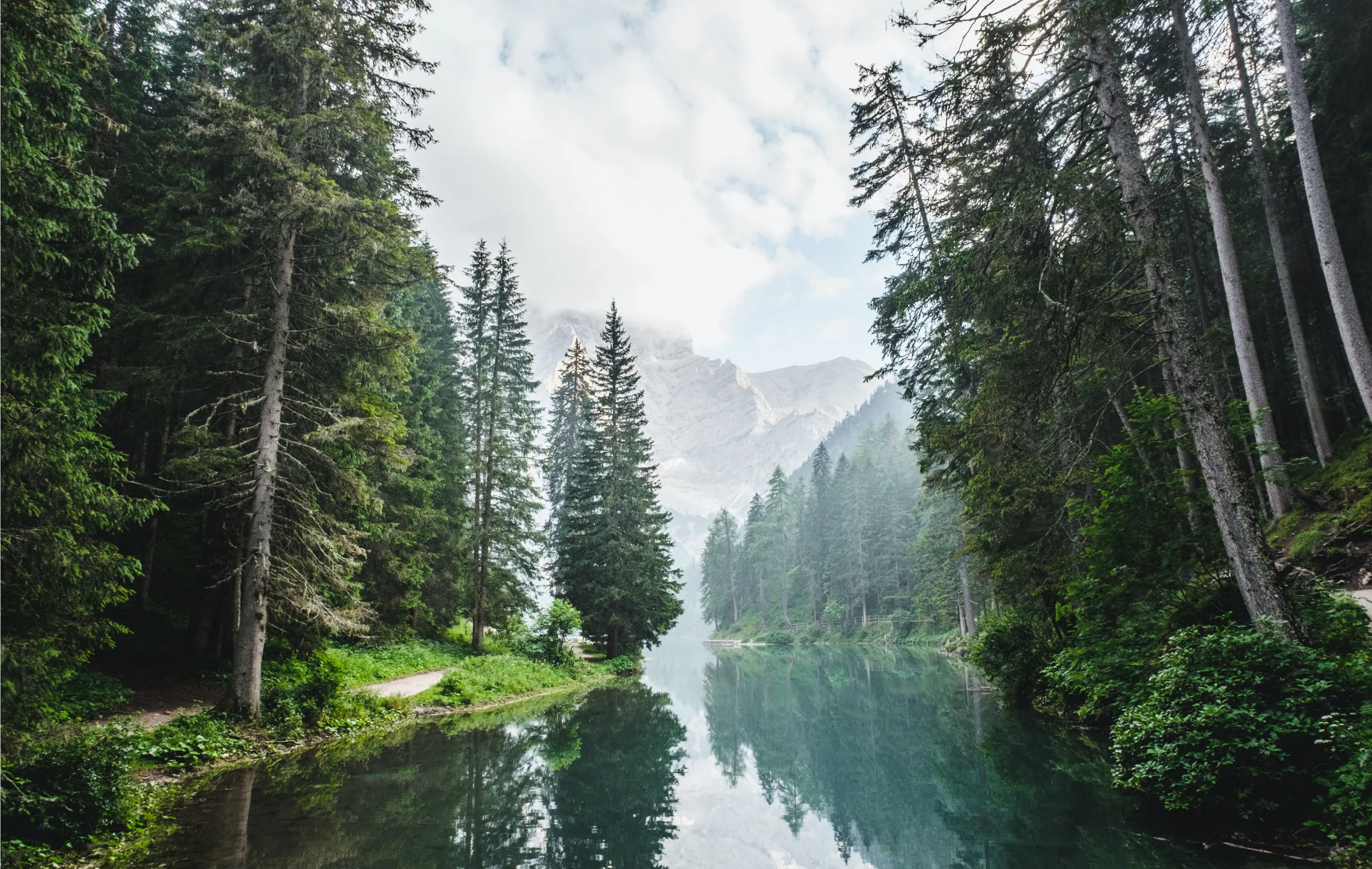
Tracking trees from the ground up

Take AR-powered tree measurements
Download our mobile app on any smart phone
Measure tree height and diameter with only a few clicks of a button
Your tree measurements are transformed into high accuracy carbon storage estimates

Take digital inventory of your forest
Our stats-driven sampling routine ensures we collect the right data to get you paid
You take measurements only a few times per year
Time spent in the field is reduced by ~50% compared to manual forestry methods
Watch your trees go to work!
Track your trees via our mobile app or website and watch the carbon in your trees return a steady revenue stream
View carbon forecasting, watch carbon sequestration in real time, and see the dollar value of your trees
Monitor your farming operations or forestry project
How it works

Capture your surroundings to create digital tree models that live inside your phone

Measure your trees using augmented reality to create a digital record of every tree
Our software computes your carbon storage through the combined use of statistics and digitized forestry methods
Watch your trees grow and monitor carbon sequestered in real time
Track the carbon stored in your forest and see your total climate impact over time


Why ground truth data?

Meticulous data collection practices ensure the highest standards of quality

Every single tree in your project is tracked

Unlocks carbon revenue for small-scale forestry projects that would otherwise go undetected using standard data extrapolation techniques

Corroborated against remote sensing data to minimize computational uncertainty

Frequently Asked Questions
Photogrammetry is a measuring technique used to capture 3D environments using 2D images. By streaming images of physical objects within an environment, our mobile app uses a simultaneous localization and mapping (SLAM) algorithm to accurately measure the distances to and between objects. In a forestry environment, our mobile app takes high accuracy tree measurements.
Remote sensing is the process of detecting and monitoring physical landscapes or objects by measuring reflected and emitted electromagnetic (EM) radiation from a distance. At Working Trees, we use satellites to collect and analyze images that "sense" land on Earth to ensure eligibility requirements are met.
Allometric equations were developed from manually collected forestry data to estimate woody biomass and carbon stock in trees. At Working Trees, we leverage allometric equations that use tree age, species, and diameter at breast height (DBH) as inputs to quantify the carbon stored in a single tree. By collecting tree-level allometry data, we can accurately measure the carbon stored in any sized tree and extrapolate to any sized forest.
Digital Monitoring, Reporting, and Verification (dMRV) utilizes digital technologies to monitor, report, and verify the climate impact of carbon projects. Our dMRV ecosystem unlocks highly accurate, auditable, and transparent data to ensure we bring the utmost integrity to the voluntary carbon market (VCM).